I have had great fun and learned so much sedimentology over the past few years simply by exploring Google Earth and asking “What is that?” and “What caused that?”.
I then discovered that I could create a Google Map and save up all these locations I have discovered, and then share it. This is a great way to broaden your sedimentological horizons, test your sedimentological interpretation skills and validate your interpretations by sharing with others. You can use mymaps.google.com to create your own analogues database and share it with your colleagues.
I also like to imagine what each locality would like like if I drilled it. What sort of sandbody geometries and orientations would you expect? One of my favourite examples is the Brahmaputra basin, with its enormous axial braided system, fed my a huge range of smaller braided systems and meandering rivers entering from the basin margins, across the floodplain. It reminds us that big braided sand bodies and thin point bars could occur juxtaposed.
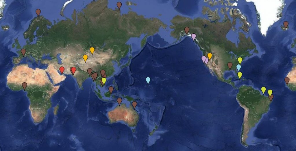
I also spent an afternoon tracking down all the classic delta system son “the” delta classification diagram. They are the brown markers on the map.
Check out what I have compiled so far on the GeoLumina Google GeoTours map. Click on the map to go full screen and see the details.
No Comments Yet